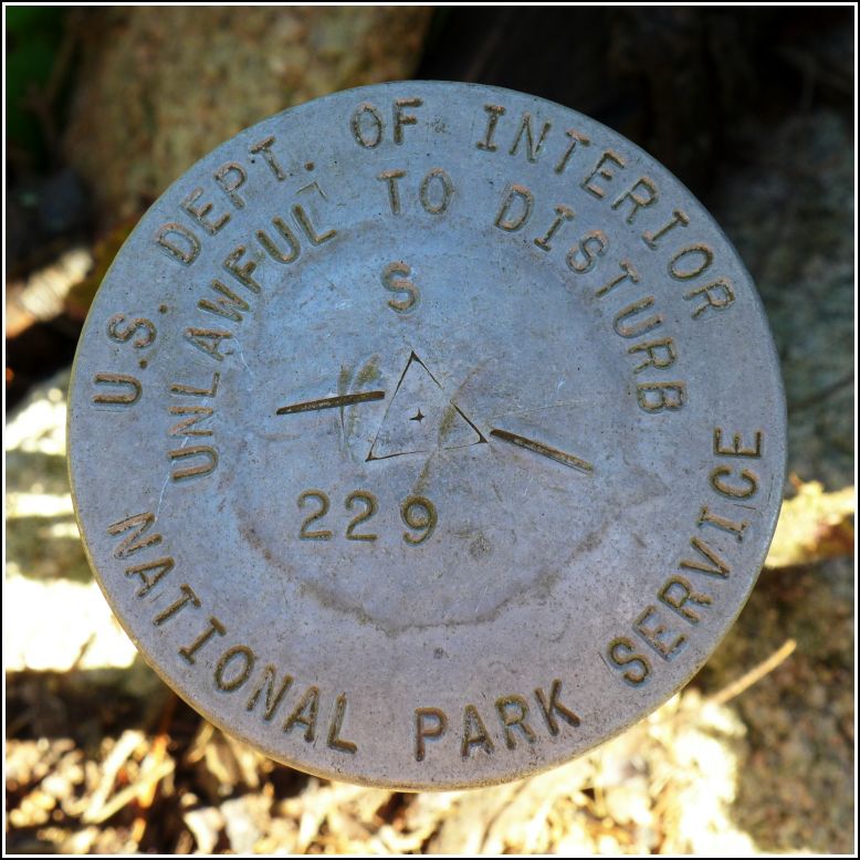
S 229
S 229
Spatial/elevation data
| Coordinates | N 44.299133° W 68.219° |
| Elevation | Unknown |
| Location | Maine
Hancock County Seal Harbor Quad |
Mark description
| Type | Boundary Monument |
| Setting | Steel Rod |
| Monumented | Unknown by National Park Service |
Narrative and photographs
We had almost no plans for survey mark hunting in Maine this year. Our goals were more along the lines of searching for old abandoned trails on MDI, inspired by new details we had discovered over the previous year (much thanks to bloggers Matthew Marchon, J. R. Libby, and Don Lenahan!).
It was on our way to one of these long-forgotten trails, the old Seal Harbor Shore Path, where we came across this National Park boundary marker. Like other similar markers we’ve found along the carriage roads near Jordan Pond House, this mark’s designation begins with “S” (perhaps something to do with Seal Harbor?). It’s set on a rod alongside the Hunters Beach Cliff Trail (a current, relatively new trail), about halfway up the initial climb from the beach. At the time of our visit, poison ivy grew nearby, so take care when recovering this mark. It appears to be in good condition and relatively stable. A brown NPS “Property Boundary” witness post is set a few inches away from the mark.


