RGH 22
RGH 22
Recovered in Good Condition on May 16, 2005
Spatial/elevation data
| Coordinates | N 41.4158° W 75.54775° |
| Elevation | 1979.98 ft. |
| Location | Pennsylvania
Lackawanna County Scranton Quad |
Mark description
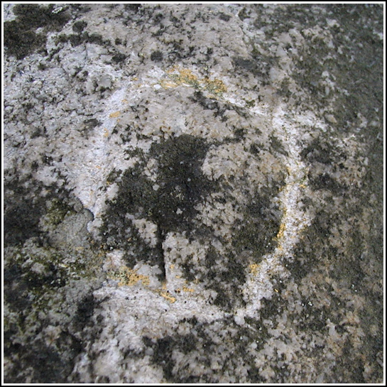
| Type | Chiseled Square |
| Setting | Boulder |
| Monumented | 1997 by PennDOT |
| Description (PennDOT) | To reach bench mark RGH 22 from the intersection of Rt. 348 and Rt. 247 in Mt. Cobb, follow Rt. 247 north for 2.7 km (1.71 mi) to a power line crossing. Turn left onto the power line and go approximately 100 m to a dirt trail on the right. Turn right onto the trail and proceed, passing an overflow and dyke at 1.3 km (0.8 mi), and another at 2.1 km (1.3 mi), to the bench mark on the right at 2.7 km (1.7 mi). Please see: RGH 22. |
Narrative and photographs
Continuing our search for the marks in PennDOT’s RGH line, this morning Rich and I hiked up to the dams and then continued on to the trail intersection where we hoped to find RGH 22. We had searched in March with only the coordinates to go on, and had no luck finding the chiseled square (though we did find an impressive boulder that we were surprised they hadn’t used). This time, we found the mark immediately. It was closer to the intersection than the spot we had originally searched; in fact we found the coordinates on the datasheet to differ by about 140 ft. from the coordinates we recorded at the mark. Our attempts to find RGH 23, which should be located about 0.3 mi. along the trail and a cut line to the southeast, were unsuccessful.


