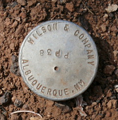
PP38
Spatial/elevation data
| Coordinates | N 36.056166° W 112.1208° |
| Elevation | Unknown |
| Location | Arizona
Coconino County Phantom Ranch Quad |
Mark description
| Type | Unspecified Disk |
| Setting | Pipe Cap |
| Monumented | Unknown by Wilson and Company |
| Description (Wilson and Company) | Unavailable. |
Narrative and photographs
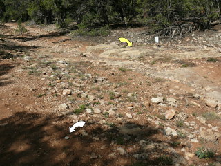
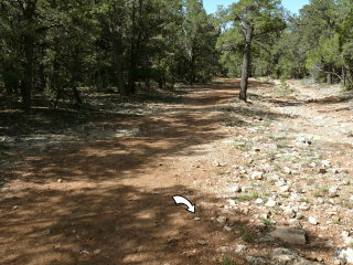
Just a few yards away from NGS vertical control mark T 482, I spotted this disk, a marker set by a New Mexico surveying firm. It’s set on a rod embedded in the ground; it wasn’t clear if it was set into bedrock below the surface, but that’s a good guess unless it was intended to be a temporary mark (unlikely).


