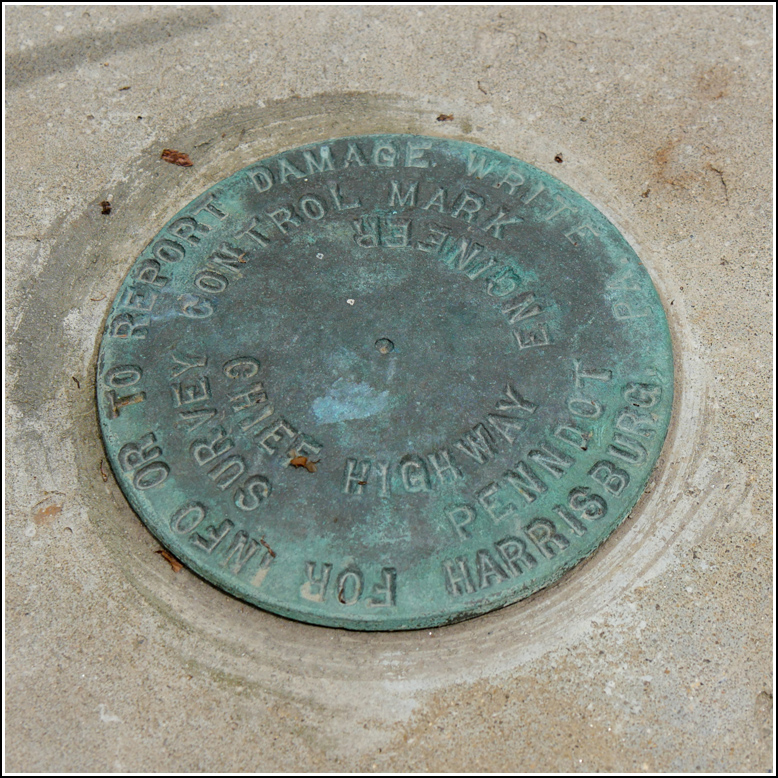
PennDOT (Unstamped, #5)
PennDOT (Unstamped, #5)
Recovered in Good Condition on July 6, 2018
Spatial/elevation data
| Coordinates | N 41.60093° W 75.52273° |
| Elevation | Unknown |
| Location | Pennsylvania
Lackawanna County Carbondale Quad |
Mark description
| Type | Survey Control Mark |
| Setting | Bridge Wingwall |
| Monumented | Unknown by PennDOT |
| Description (PennDOT) | Unavailable. |
Narrative and photographs
We turned onto Crystal Lake Road from Route 106 and crossed over this new bridge. Rich thought he saw a survey mark set into the wingwall—he was right! He pulled the car ahead and parked in a safe spot while I checked it out.
Not surprisingly, it’s one of the new PennDOT marks that they seem to be setting in each new bridge. It is set into the northeast wingwall of the bridge over Fall Brook. The disk is not yet stamped.


