K 13 (PE0296)
K 13
Spatial/elevation data
| Coordinates | N 44.279983° W 68.326133° |
| Elevation | 45.40 ft. |
| Location | Maine
Hancock County Southwest Harbor Quad |
Mark description
| Type | Bench Mark Disk |
| Setting | Concrete Foundation |
| Monumented | 1934 by USGS |
| Description (NGS) | NGS Datasheet |
NGS recovery information
Descriptive text
Recovered in good condition. The building now houses the Southwest Harbor branch of the First Bank. The mark is currently accessible and the designation was verified. Autonomous (non-corrected) handheld GPS coordinates for the mark are 44 16 47.9(N) 068 19 34.1(W).Narrative and photographs
Yesterday on our way through Southwest Harbor, I remembered that there were some USGS marks in this area. One was supposed to be on the post office:
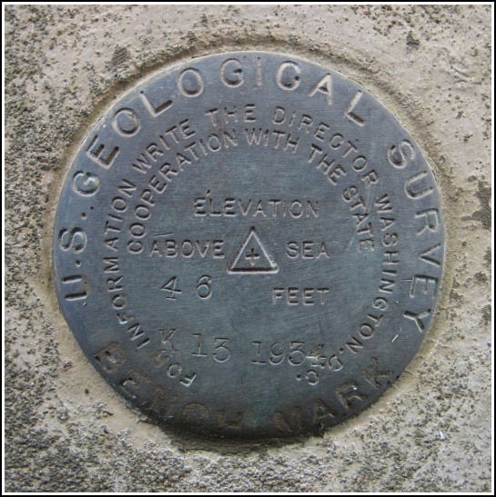
Southwest Harbor Post Office, in foundation on N. side of building, 12 ft. from NE. cor. of building, set vertically about 1 ft. above ground; standard disk stamped “K-13-1934”
R.M., on NE. cor. of lower step to Post Office that forms part of sidewalk; chiseled square, “R.M.” on step
Should be easy enough, right? The post office is currently on Clark Point Road. The building dates from the 1930s, so it we thought it was possible that this was the original post office. The mark was supposed to be set into the building foundation one foot above the ground and 12 feet in from that corner. Nothing matched up, though. Not only was there a wall from some sort of enclosure (admittedly a recent addition to the building) right at the 12-foot mark, but the concrete foundation didn’t stretch more than nine inches above the ground before the layer of brick began. There was no room for a mark. The young man in the post office was a new employee and had no idea about its history, though a man waiting behind us in line claimed that the old post office had been up on Main Street and was now the Little Notch Bakery.
Today, we decided to give K 13 one more chance. Having discovered that this USGS mark is also an NGS mark, we checked the datasheet and Geocaching.com recoveries and noticed that this is the mark that was described by geocachers a few years ago as being set at the Jumpin’ Java coffee house (not the Little Notch Bakery, but it’s nearby). I knew I would recognize the building if I saw it. Well, the coffee house was recently turned into a bank branch, we soon discovered, and although the appearance of the building has changed significantly, the mark is still there. The fence that had blocked access to the mark is now gone, and I was able to sneak into the little alleyway between buildings for a close-up. The reference mark, supposedly a chiseled square in the steps, is apparently gone.

.")
