K 23 (PE0279)
K 23
Spatial/elevation data
| Coordinates | N 44.378783° W 68.232533° |
| Elevation | 374.92 ft. |
| Location | Maine
Hancock County Bar Harbor Quad |
Mark description
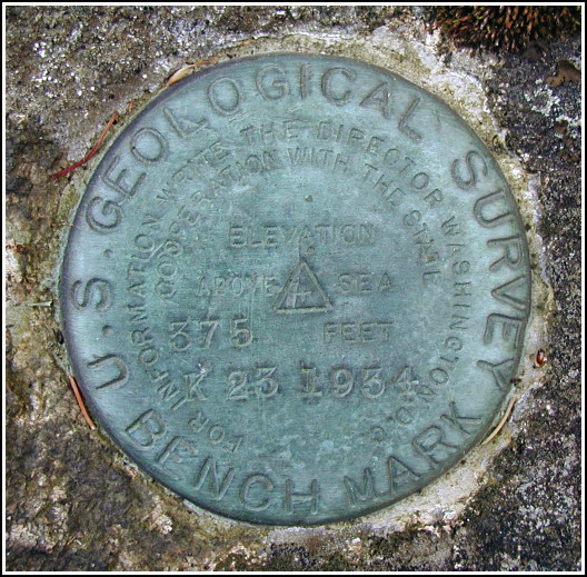
| Type | Bench Mark Disk |
| Setting | Rock Outcrop |
| Monumented | 1934 by USGS |
| Description (NGS) | NGS Datasheet |
NGS recovery information
Descriptive text
Handheld GPS WAAS-corrected coordinates for the station are 44 22 43.6(N) 068 13 57.1(W).Narrative and photographs
This benchmark has the distinction of being my “earliest ever” find—at just before 5:35am. After watching a less-than-spectacular but still awesome sunrise from Cadillac Mountain, for which we got up at 3:15am, Rich decided we could stop for a few benchmarks on the way back to Bar Harbor. Having no datasheet or coordinates with us wasn’t a problem this time. Rich wasn’t positive he had exactly the right location for this one as it’s been almost three years since he first found it, but I ran up the little hill he indicated and checked the most obvious outcropping, and there was the mark! It’s in fine condition, was well-exposed and easy to see from a distance, and the historic description is accurate.


(Recovered on September 11, 2002)
N 44° 22.728’ W 068° 13.946’
While vacationing on M.D.I. I decided to search for a few local benchmarks. I drove out along the Park Loop Road from Bar Harbor and easily found the mark using the historical description. At the station my Garmin GPSmap76 receiver indicated approximately 64 feet from the posted coordinates. The disc was partially covered by dried pine litter and it is in very good condition. ~Rich in NEPA~


