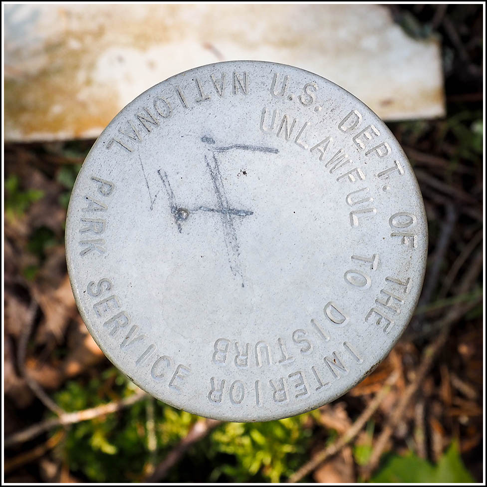
NPS (Unstamped, Acadia #13)
Recovered in Good Condition on September 17, 2023
Spatial/elevation data
| Coordinates | N 44.379906° W 68.307398° |
| Elevation | Unknown |
| Location | Maine
Hancock County Salsbury Cove Quad |
Mark description
| Type | Boundary Monument |
| Setting | Steel Pipe |
| Monumented | Unknown by National Park Service |
Narrative and photographs
This is the fourth of six NPS boundary markers I found on today’s hike in the Kittredge Brook Forest Preserve. It is close to the spot where the Pine Ridge Loop diverges from the Vernal Pool Loop to head toward Long Heath. Like the others in this area, the disk is in fairly good condition, and the adjacent orange witness post makes it easy to spot.

