K 57
Spatial/elevation data
| Coordinates | N 41.424666° W 76.059416° |
| Elevation | 996.61 ft. |
| Location | Pennsylvania
Wyoming County Noxen Quad |
Mark description
| Type | Bench Mark Disk |
| Setting | Bridge Seat |
| Monumented | 1934 by NGS |
| Description (NGS) | NGS Datasheet |
NGS recovery information
Descriptive text
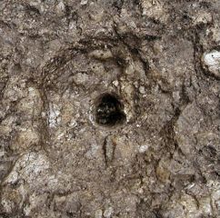
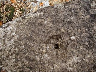
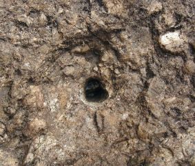
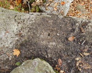
An empty drill hole was found at the location given in the description. The disk was not located.Narrative and photographs
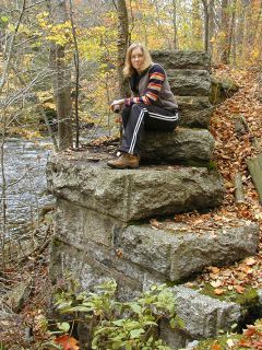
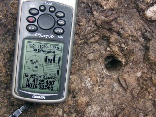
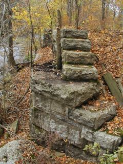
After we spent a few minutes examining the wrong pile of stones several hundred feet to the east, I spotted the abutment, still intact, through the trees. The disk was not located, although we did find an empty drillhole in the northeast end of the northwest bridge seat, as described. (The coordinates given above are for the drillhole on the abutment.) The station could not be positively identified, so at present its status must remain Not Found.
N 41° 25.480’ W 076° 03.565’
Mark not found.
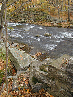
This second order vertical control station is described as being set in the top of the northeast end of the northwest bridge seat. The historical description leads to the northwest abutment of what was once a railroad bridge over Bowman Creek in Noxen, but the railroad and the spans no longer exist. An empty drill hole was found at the described location for the station. There was no other evidence in sight which could be used to positively identify the station. At the suspected position a Garmin GPSmap76 receiver with remote active antenna was used to record WAAS-corrected coordinates which were 70.8 feet from the scaled coordinates listed on the NGS datasheet. ~Rich in NEPA~

