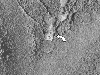
ELK MOUNTAIN RAD E MAST 1959
Spatial/elevation data
| Coordinates | N 41.714896° W 75.560591° |
| Elevation | Unknown |
| Location | Pennsylvania
Susquehanna County Clifford Quad |
Mark description
| Type | Landmark/Intersection Station |
| Setting | Mast |
| Monumented | 1959 by NGS |
| Description (NGS) | NGS Datasheet |
NGS recovery information
Descriptive text
Mark not found. There is no longer a mast of any kind at these coordinates.Narrative and photographs
There is no longer a mast at the coordinates. We don’t know when the mast was removed, but PennPilot aerial imagery from June 11, 1960 and October 9, 1969 shows the tower clearly.

