SOUTHSIDE (LY2732)
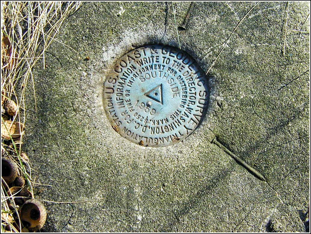
SOUTHSIDE
Spatial/elevation data
| Coordinates | N 41.394338° W 75.653299° |
| Elevation | 986 ft. |
| Location | Pennsylvania
Lackawanna County Scranton Quad |
Mark description
| Type | Triangulation Station Disk |
| Setting | Square Concrete Monument |
| Monumented | 1959 by NGS |
| Description (NGS) | NGS Datasheet |
Narrative and photographs
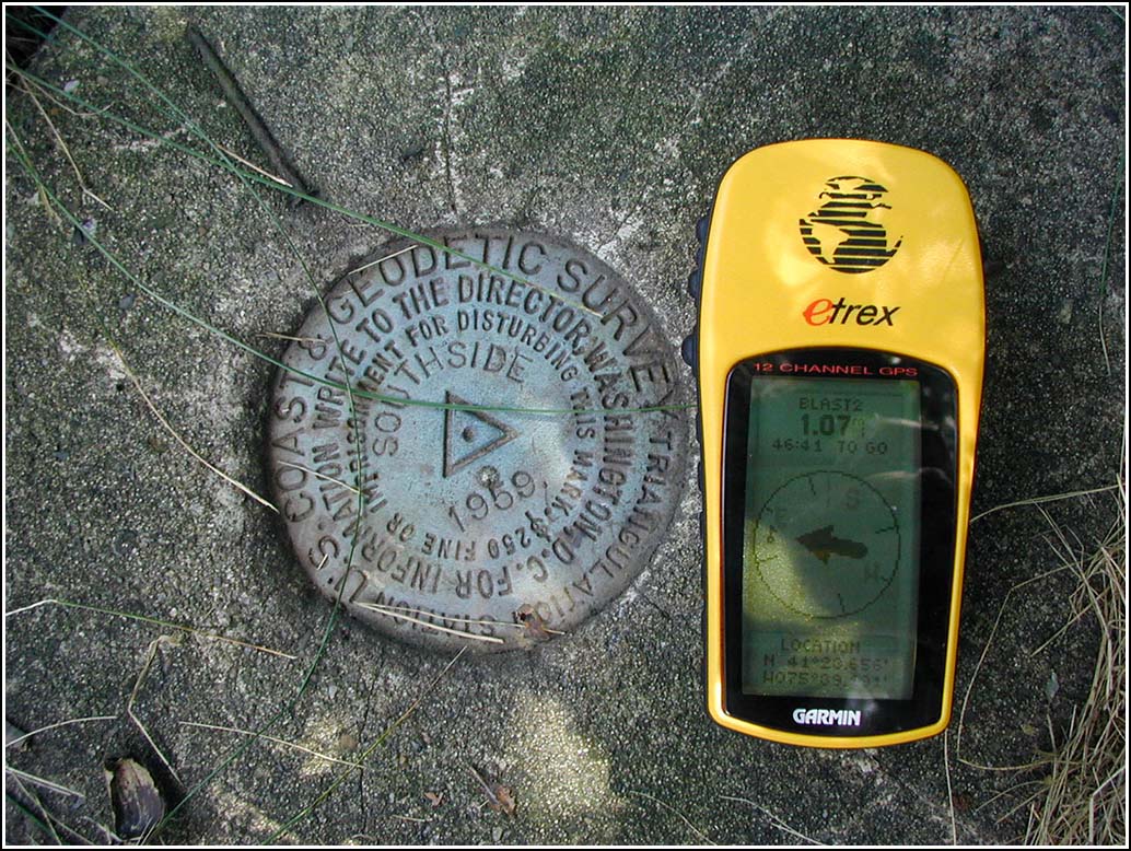
N 41° 23.656 W 075° 39.191
We first located this marker in January and logged it for the NGS Benchmark Recovery Cache. Now that these markers can be logged separately, I thought we might as well come back (after completing A Blast From the Past) and get a photo of the marker with the GPS, and a photo of the surrounding area. The coordinates given by my GPS were N 41° 23.656’ W 075° 39.191’, though we didn’t give it much time to settle before taking the photo.
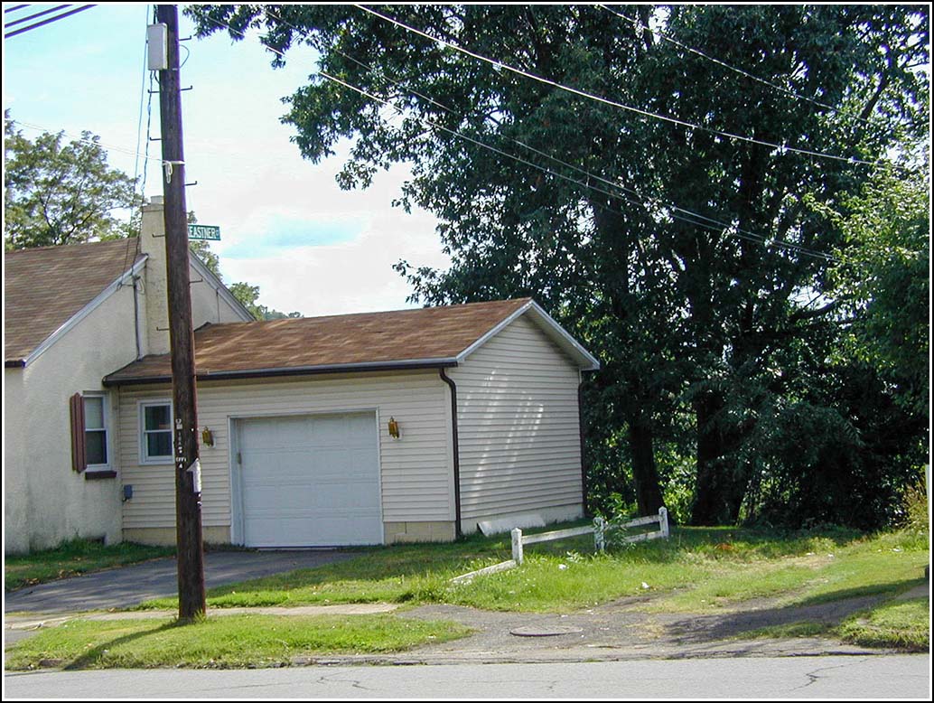
This marker is located on a “street” that’s actually more like an abandoned path — the irony being that although this street obviously hasn’t been used in decades, it boasts a bright shiny new street sign. That’s Scranton for you! (You can see both the sign and the “street” in the photo.) The marker is in very close proximity to two homes, and we were being watched by a cat (and who knows who/what else?!) when we took the photos. It’s a very bizarre spot, and just down the road from my house!
| Designation | Status | Condition | Image |
|---|