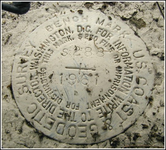
S 288
Recovered in Good Condition on December 15, 2002
Spatial/elevation data
| Coordinates | N 41.405133° W 75.660583° |
| Elevation | 776.47 ft. |
| Location | Pennsylvania
Lackawanna County Scranton Quad |
Mark description
| Type | Bench Mark Disk |
| Setting | Concrete Wall |
| Monumented | 1961 by NGS |
| Description (NGS) | NGS Datasheet |
Narrative and photographs
I was in this location late Friday afternoon, but due to the snow and ice I wasn’t able to see the marker. I did have a pretty good idea where it would probably be, though. Today we returned, after much of the snow had melted, and there it was! The marker is in fine condition though it appears to have been painted over. The description is adequate. This is a neat spot, directly behind the station and above the University of Scranton field. I remember walking across these tracks and down the platform steps to the field on graduation day.

