E 56
Spatial/elevation data
| Coordinates | N 41.4754° W 75.575266° |
| Elevation | 821.77 ft. |
| Location | Pennsylvania
Lackawanna County Olyphant Quad |
Mark description
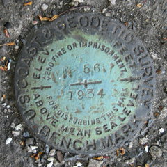
| Type | Bench Mark Disk |
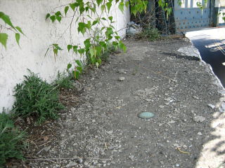
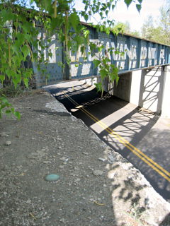
| Setting | Bridge Seat |
| Monumented | 1934 by NGS |
| Description (NGS) | NGS Datasheet |
NGS recovery information
Descriptive text
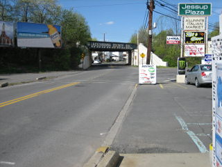
Recovered in good condition. Contrary to the description, the mark is set in the south end of the west bridge seat. The bridge is located near the intersection of Delaware Street and Constitution Avenue (formerly Moosic Street) in Jessup. Handheld GPS WAAS-corrected coordinates for the station are 41 28 31.44(N) 075 34 30.96(W).Narrative and photographs
This benchmark is the closest by far to my house (0.1 mi), and yet it’s taken me two years to log it! (I even use it frequently to calibrate the altimeter in my GPSr.) Rich and I originally found this mark right around the time I moved to Jessup, but just never had the opportunity to log it properly. On this beautiful Spring evening I decided to try out his new camera, and I took a walk down to the bridge. The mark is in good condition and is set solidly in the bridge seat. There are some obvious mistakes in the description which I’ve clarified in my NGS report.


