M 224 (LY1312)
M 224
Spatial/elevation data
| Coordinates | N 41.061889° W 75.453555° |
| Elevation | 1872.22 ft. |
| Location | Pennsylvania
Monroe County Pocono Pines Quad |
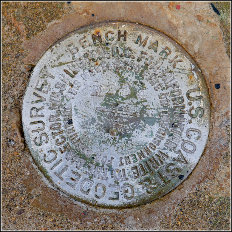
Mark description
| Type | Bench Mark Disk |
| Setting | Bridge Curb |
| Monumented | 1958 by NGS |
| Description (NGS) | NGS Datasheet |
Narrative and photographs
I think this was the first time in all the years we’ve been attending the Banff Mountain Film Festival showing in Bethlehem that it wasn’t nice enough for a hike beforehand. This spring has been very wet (a continuation of last summer’s conditions, most likely) and all morning, it poured. By the time we picked Dad up, around 1:00pm, it was still raining moderately. Even so, I couldn’t resist looking for a few benchmarks along our way to the Point Phillips Hotel, where we were to have lunch before the show.
This mark was the first one we found, along Long Pond Road. It was easy to spot, set right into the top of the curb of a bridge over Tunkhannock Creek. The mark is in good condition, although it appears to have been painted over a few times, making the designation difficult to ascertain.

