C 91 =503 USGS (LY0568)
C 91 =503 USGS
Recovered in Good Condition on February 2, 2003
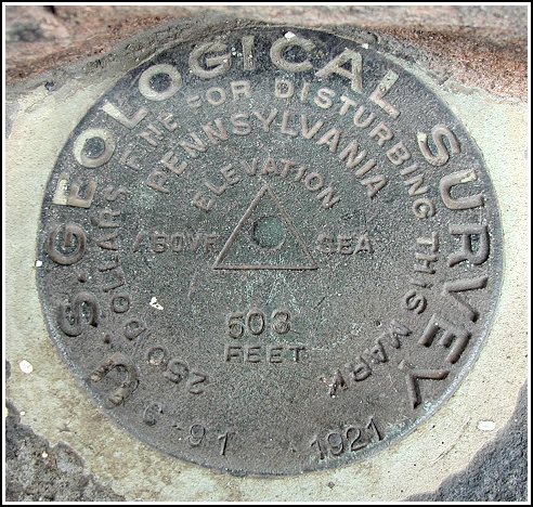
Spatial/elevation data
| Coordinates | N 41.324966° W 74.800966° |
| Elevation | 502.19 ft. |
| Location | Pennsylvania
Pike County Milford Quad |
Mark description
| Type | Bench Mark Disk |
| Setting | Stone Foundation |
| Monumented | 1921 by USGS |
| Description (NGS) | NGS Datasheet |
Narrative and photographs
After locating LY0567 on the southeast side of the county courthouse, we walked right around to the northeast side and found this one. There was no shrubbery to contend with. The marker is set horizontally on a small ledge just beneath the windows. It’s in very good condition.
