LONG POND FIRE ROAD
LONG POND FIRE ROAD
Spatial/elevation data
| Coordinates | N 44.312505° W 68.391654° |
| Elevation | 155.593 ft. |
| Location | Maine
Hancock County Bartlett Island Quad |
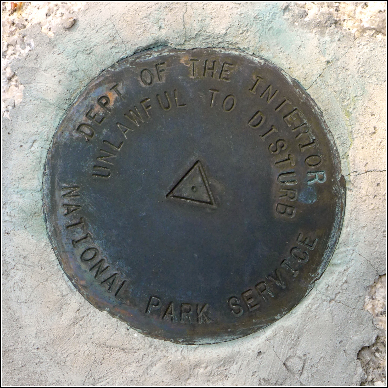
Mark description
| Type | Triangulation Station Disk |
| Setting | Bedrock |
| Monumented | 2011 by National Park Service |
| Description (National Park Service) | See: Shared Solution for LONG POND FIRE ROAD |
Narrative and photographs
Finding this mark capped off a full day of eating and exploring and survey mark hunting! It’s another triangulation station in the “backbone series” set by NPS and the University of Rhode Island. Although we have biked the Long Pond Fire Road in the past, I didn’t remember a lot about the road itself, and I didn’t realize that we could actually drive on it. The fact that we could drive to within 300 feet of the mark made the decision to search for it today much easier!
Although it was relatively close to the road, this was the trickiest mark in the series to reach. The woods here are quite thick with pines and no path toward the coordinates was evident. I just bushwhacked my way through to the proper ledge, where I eventually found the mark quite easily, once I got there. The disk is in good condition and is unstamped.
Of course, once at the ledge, I found the faint path that others had obviously taken to reach the mark.

