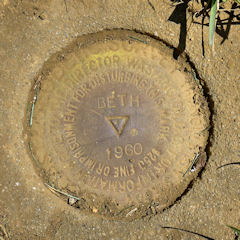
BETH
Spatial/elevation data
| Coordinates | N 40.623733° W 75.3715° |
| Elevation | 362 ft. |
| Location | Pennsylvania
Northampton County Hellertown Quad |
Mark description
| Type | Triangulation Station Disk |
| Setting | Square Concrete Monument |
| Monumented | 1960 by NGS |
| Description (NGS) | NGS Datasheet |
NGS recovery information
Descriptive text
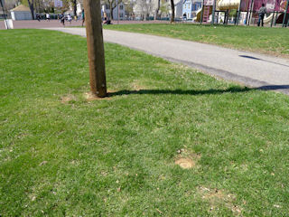
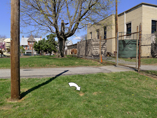
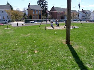
The station and reference marks 2 and 3 were recovered in good condition in Friendship Park. Reference mark 1 was confirmed destroyed in 1973. Handheld GPS coordinates for RM 2 are 40 37 24.8(N) 075 22 17.7(W). Handheld GPS coordinates for RM 3 are 40 37 26.2(N) 075 22 20.5(W).Narrative and photographs
Rich and I were spending some time in Bethlehem today before the annual showing of the Banff Mountain Film Festival World Tour. Our main benchmark-related exploration for the day was to investigate Friendship Park and see what might be left of the triangulation station BETH. We expected a challenge because the two geocachers who had logged this mark before us failed to find the station mark. Also, the fact that the monument was set flush with the ground doesn’t usually inspire much confidence. But in this case I had some hope because if the park grounds were maintained the chance of it being overgrown was less likely. (That doesn’t exclude the possibility of other obstacles we’ve encountered many times before, of course, like marks being paved over, having a shed built right on top, lawn resodding, etc.).
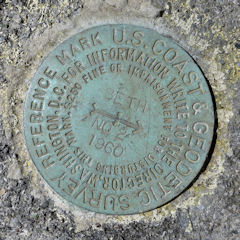
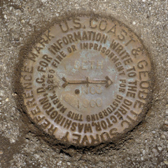
Fortunately, things worked out well for us. The coordinates took us right to the station monument, which was well exposed and in good condition, although indeed flush with the surface of the ground. We didn’t expect to find RM 1 because it was definitively declared “Destroyed” in 1973 following some construction in the area. Both RM 2 and RM 3 were found in good condition and exactly as described: RM 2 set in the top surface of a stone wall bordering the south edge of the park, and RM 3 set in a square concrete monument along the park’s western edge.
| Designation | Status | Condition | Image |
|---|---|---|---|
| BETH RM 1 | Recovered | Destroyed |

|
| BETH RM 2 | Recovered | Good |
|
| BETH RM 3 | Recovered | Good |
|
