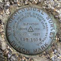
K 26
Spatial/elevation data
| Coordinates | N 44.320216° W 68.254366° |
| Elevation | 297.326 ft. |
| Location | Maine
Hancock County Southwest Harbor Quad |
Mark description
| Type | Bench Mark Disk |
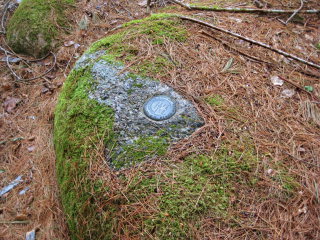
| Setting | Boulder |
| Monumented | 1934 by USGS |
| Description (USGS) | Seal Harbor Post Office, 1.8 mi N. of, along Mountain Rd., near Jordan Pond House, 300 ft. W. of rd., 85 ft. W. of SW. corner of W. porch of hotel, 130 ft. NW. of reference mark, in large boulder; standard disk stamped “K-26-1934” |
Narrative and photographs
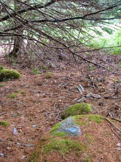
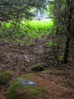
When we read through the USGS datasheets for Maine, we were excited to see so many benchmarks we had been unaware of before. There’s one very close to the Jordan Pond House, famous stop for popovers in the park! The woods were damp and dark today, and it took us a little longer to spot the disk than it may have on a brighter day, but once we found the correct boulder, the disk stood right out. It’s set on a shelf that protrudes slightly above the surface of the rest of the boulder, and possibly because of that, the mark was clear of the pine debris that had settled atop the rest of the boulder. The boulder is just a few yards into the woods from the Jordan Pond House, the side of which is visible through the trees from the site of the mark. The disk is in excellent condition.


