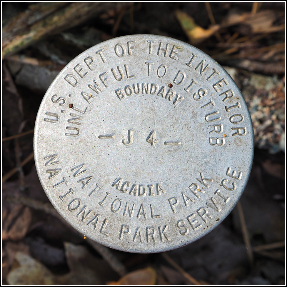
J 4
J 4
Recovered in Good Condition on September 9, 2023
Spatial/elevation data
| Coordinates | N 44.361542° W 68.199623° |
| Elevation | Unknown |
| Location | Maine
Hancock County Seal Harbor Quad |
Mark description
| Type | Boundary Monument |
| Setting | Steel Pipe |
| Monumented | Unknown by National Park Service |
| Description (National Park Service) | Unavailable. |
Narrative and photographs
J 4 is another NPS boundary monument for Acadia. We’ve found many of these over the years, and there always seem to be more! It would be neat to find every single one, although I don’t know of a listing or any datasheets that indicate their locations.
This one is located along a short connector path between Bear Brook Picnic Area and Jackson Laboratory, just east of the path. It is very close to some new construction underway on the laboratory property. The boundary monument appears to be in good condition.

