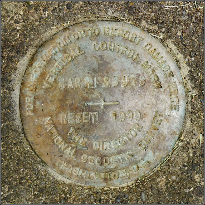
HARRISBURG 1999
HARRISBURG 1999
Spatial/elevation data
| Coordinates | N 40.272665° W 76.85333° |
| Elevation | Unknown |
| Location | Pennsylvania
Dauphin County Harrisburg East Quad |
Mark description
| Type | Vertical Control Mark |
| Setting | Concrete Step |
| Monumented | 1999 by NGS |
Narrative and photographs
While wandering the grounds of the National Civil War Museum after confirming the destruction of the tri-station HARRISBURG (KW1133), Kristen and I found another mark, designated HARRISBURG RESET 1999, on the grounds. This disk is embedded in a set of concrete steps at the far eastern end of the field on the museum grounds. The year matches the year of museum construction, 1999, so setting a reset at that time would make sense—but this mark is a vertical control mark (a bench mark) while the original HARRISBURG is a triangulation station. We don’t see how it could be a true reset/substitute for the original mark. Perhaps the vertical control was all that was needed in these days of GPS, so they took the cheaper route and set only a vertical control mark. In any case, the mark doesn’t appear in the NGS database even though the disk is an NGS disk.
The following note was submitted to NGS for the original mark, HARRISBURG, because the reset is not in the database:
The original triangulation station and reference marks were not found. They are assumed destroyed by the construction of the National Civil War Museum and the associated regrading of the property.
HARRISBURG RESET 1999 was recovered in accordance with the 2004 and 2008 recovery notes. It is set in the southeast end of the top step of a set of concrete steps at the eastern end of a field in Reservoir Park. The disk is a vertical control mark rather than a true reset of the original triangulation station. It does not appear to have its own entry in the NGS database. Handheld GPS coordinates for HARRISBURG RESET 1999 are 40 16 21.6(N) 076 51 12.0(W).


