BEAUTIFUL
Spatial/elevation data
| Coordinates | N 36.0701° W 109.60955° |
| Elevation | 5958 ft. |
| Location | Arizona
Apache County Little White House Ruins Quad |
Mark description
| Type | Triangulation Station Disk |
| Setting | Square Concrete Monument |
| Monumented | 1951 by NGS |
| Description (NGS) | NGS Datasheet |
Narrative and photographs
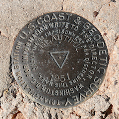
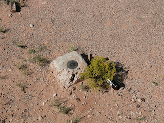
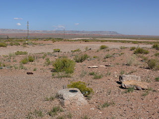
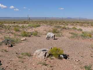
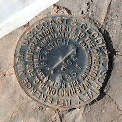
While on our way along lonely Route 191 from Chinle to Holbrook, we searched for the tri-station BEAUTIFUL. The name is quite fitting to the location! This is native land, and even walking a short distance off the road felt like we were intruding. No one was nearby, and certainly no one bothered us while we were searching or documenting the mark. We were able to find the station and RM 2 easily, but we had no luck with RM 1. The station disk is in good condition, although the monument is slightly eroded on one side (it doesn’t appear that this has affected its stability). RM 2 was surrounded by an “X” made of white plastic, indicating it has likely been used in an aerial survey.
| Designation | Status | Condition | Image |
|---|---|---|---|
| BEAUTIFUL RM 1 | Not Found | Unknown (Not Found) |

|
| BEAUTIFUL RM 2 | Recovered | Good |
|
