DESERT PARK ATT RELAY TOWER (FP0600)
DESERT PARK ATT RELAY TOWER
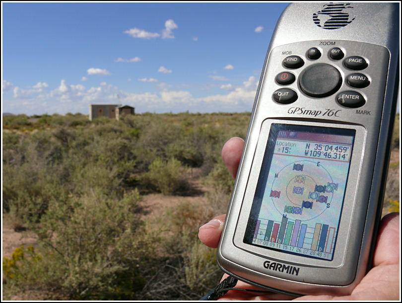
Recovered in Destroyed Condition on September 19, 2008
Spatial/elevation data
| Coordinates | N 35.074316° W 109.7719° |
| Elevation | Unknown |
| Location | Arizona
Apache County Kachina Point Quad |
Mark description
| Type | Landmark/Intersection Station |
| Setting | Relay Tower |
| Monumented | 1936 by NGS |
| Description (NGS) | NGS Datasheet |
Narrative and photographs
We didn’t find anything left of the old radio tower, other than some tire-track evidence in the desert landscape of people having driven there. I can confidently say this one is destroyed.