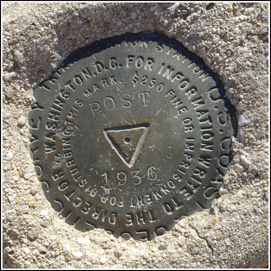
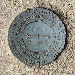
POST (CZ1824)
POST
Spatial/elevation data
| Coordinates | N 32.17725° W 110.729866° |
| Elevation | 3133 ft. |
| Location | Arizona
Pima County Tanque Verde Peak Quad |
Mark description
| Type | Triangulation Station Disk |
| Setting | Square Concrete Monument |
| Monumented | 1936 by NGS |
| Description (NGS) | NGS Datasheet |
NGS recovery information
Descriptive text
The station mark, both reference marks, and the azimuth mark were all recovered in good condition. Handheld GPS coordinates for RM 1 are 32 10 37.8(N) 110 43 48.1(W). Handheld GPS coordinates for RM 2 are 32 10 38.4(N) 110 43 48.3(W). Handheld GPS coordinates for the azimuth mark are 32 10 38.5(N) 110 43 54.4(W).Narrative and photographs
We hadn’t planned ahead for this mark, but we happened to notice it on our map this morning as we considered where to hike in the eastern section of Saguaro National Park. It was close enough to Cactus Forest Drive that we could park and just wander around for a few minutes—fortunately we found it easily! We suspected there were reference marks too, but without a datasheet, we were at a bit of a loss as to where to look.
Later in the evening, I checked the database and obtained the information about the reference marks. Three days later, we headed back to the area and, using the box score from the datasheet and some careful (somewhat precarious) searching among mounds of prickly pear cacti, we found all of the associated reference marks! All marks are in good condition.


| Designation | Status | Condition | Image |
|---|---|---|---|
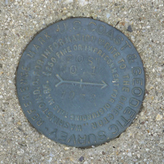
| POST AZ MK | Recovered | Good |
|
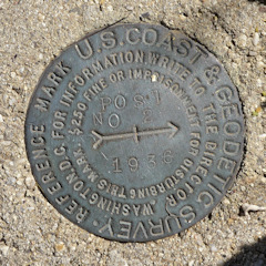
| POST RM 1 | Recovered | Good |
|
| POST RM 2 | Recovered | Good |
|