B 432
Spatial/elevation data
| Coordinates | N 31.567667° W 111.051444° (estimate) |
| Elevation | 3271.63 ft. |
| Location | Arizona
Santa Cruz County Tubac Quad |
Mark description
| Type | Steel Rod |
| Setting | Steel Rod |
| Monumented | 1980 by NGS |
| Description (NGS) | NGS Datasheet |
Narrative and photographs
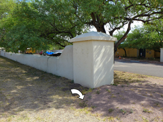
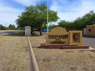
I hadn’t prepared for this mark, but when we arrived at Tumacacori I checked BenchMap to see if any marks might be nearby. This mark was supposedly right near the parking area! The last recovery had provided handheld coordinates, so we felt pretty confident it would be an easy find. But we weren’t able to find the mark.
In comparing what we saw at the site with photos from the Geocachers’ 2010 and 2011 recoveries, we could see that the area over and around the coordinates has been covered by a thick layer of compacted gravel. Given that even when it wasn’t gravel-covered, the mark was 6 inches below the surface and required digging, it was clear that we wouldn’t have a chance of finding it today. It’s very likely that the mark is still in place, but it will take some work to uncover and use it.


