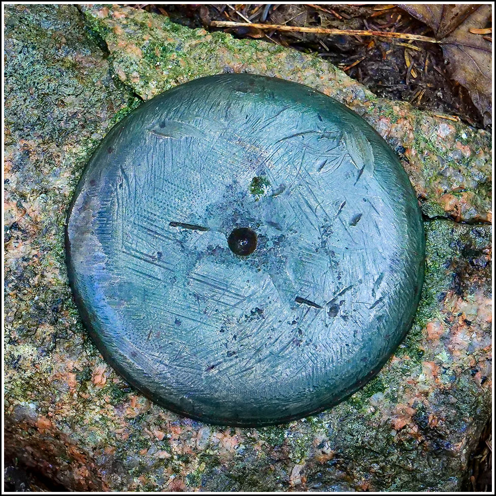
Boundary Monument (Unstamped, #1)
Recovered in Good Condition on September 14, 2022
Spatial/elevation data
| Coordinates | N 44.300752° W 68.244226° |
| Elevation | Unknown |
| Location | Maine
Hancock County Seal Harbor Quad |
Mark description
| Type | Boundary Monument |
| Setting | Granite Post |
| Monumented | Unknown by Unknown Agency |
| Description (Unknown) | Unavailable. |
Narrative and photographs
This was the first of several boundary markers we found today on our walk along the Seaside Path. Unlike the others, this one is not stamped in any way, although it has a large punch mark in the middle. It is set in an embedded granite post just a few feet east of the Seaside Path.

