C 272 (AA0140)
C 272
Recovered in Fair Condition on February 21, 2016
Spatial/elevation data
| Coordinates | N 24.654216° W 81.542197° |
| Elevation | 10.50 ft. |
| Location | Florida
Monroe County Sugarloaf Key Quad |
Mark description
| Type | Bench Mark Disk |
| Setting | Bridge Curb |
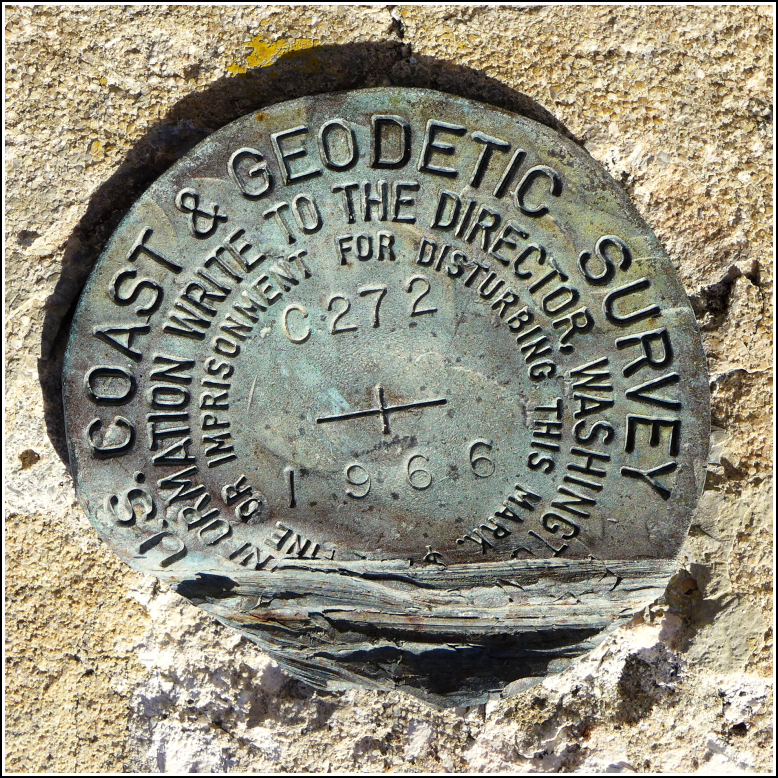
| Monumented | 1966 by NGS |
| Description (NGS) | NGS Datasheet |
NGS recovery information
Descriptive text
Recovered in fair condition, with damage as noted in the previous recovery.Narrative and photographs
There are so many old bridges in this area that used to be part of the highway, and were kept in place for use as fishing piers (and as part of the Overseas Heritage Trail) when the new highway was built. We passed over several of these bridges this morning on our way to Bahia Honda State Park. As we’ve come to expect, there were many benchmarks to be found on the old bridges. C 272 is still in place on the northwest curb of the old bridge, but it has been damaged. The bottom one-quarter of the disk has been scraped or sheared off. The designation and date are still legible. It’s difficult for us to tell whether the mark is stable enough to be usable; our guess is that it is fine for an elevation.
