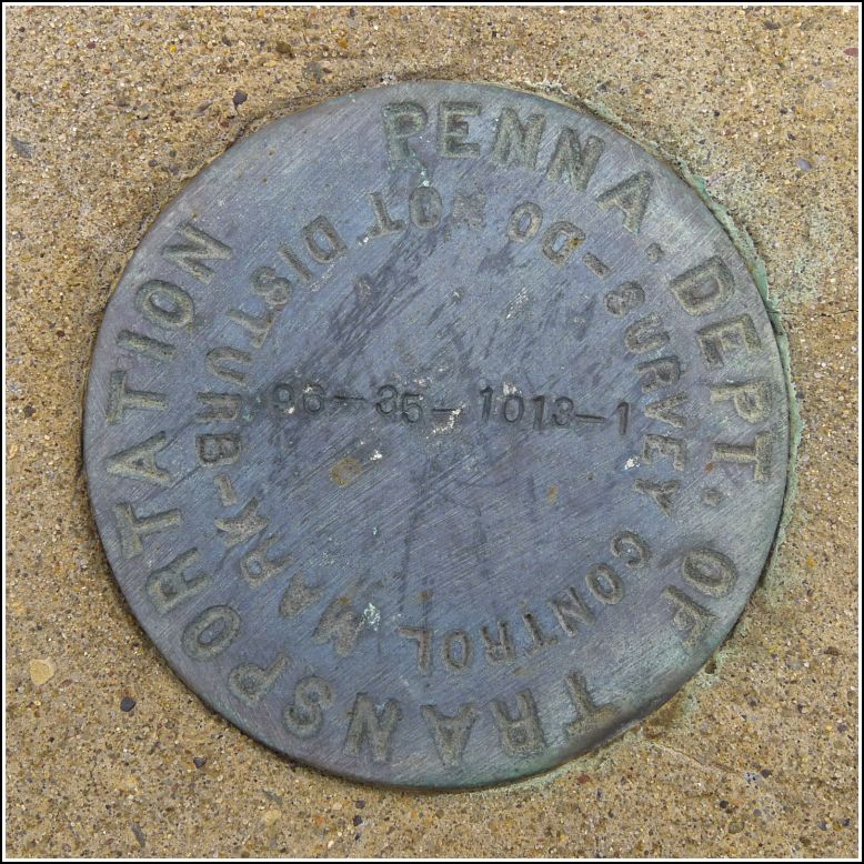
96-35-1013-1
Recovered in Good Condition on June 20, 2015
Spatial/elevation data
| Coordinates | N 41.64009° W 75.59838° |
| Elevation | Unknown |
| Location | Pennsylvania
Lackawanna County Clifford Quad |
Mark description
| Type | Survey Control Mark |
| Setting | Bridge Bannister |
| Monumented | 1996 by PennDOT |
| Description (PennDOT) | Unavailable. |
Narrative and photographs
This was the second of two PennDOT marks we found this morning on our way to search for three USGS marks in the Waymart area. (It’s a good thing we happened to notice these marks, because they were the only ones we found all day. We struck out on all of the USGS marks.) The mark is a new-style PennDOT survey control mark set into the eastern bannister of a bridge over a branch of Dundaff Creek.

