32 JPN
32 JPN
Spatial/elevation data
| Coordinates | N 41.4936352° W 75.69892416° (estimate) |
| Elevation | 1302.381 ft. |
| Location | Pennsylvania
Lackawanna County Scranton Quad |
Mark description
| Type | Bench Mark Disk |
| Setting | Concrete Curbing |
| Monumented | 1942 by USGS |
| Description (USGS) | Clarks Summit; in frontyard of Clarks Summit-Clarks Green High School; 75 ft SW. of boys entrance; 36 ft SE. of center of Grove Street; in concrete curbing around 30-in. tree; standard tablet stamped “33 JN 1942 1302” Reference mark; 340 ft. SW. of tablet; 24 ft. N. of intersection of Grove Street, and U. S. Highways 6 and 11; on top of stone curbing; chiseled square |
Narrative and photographs
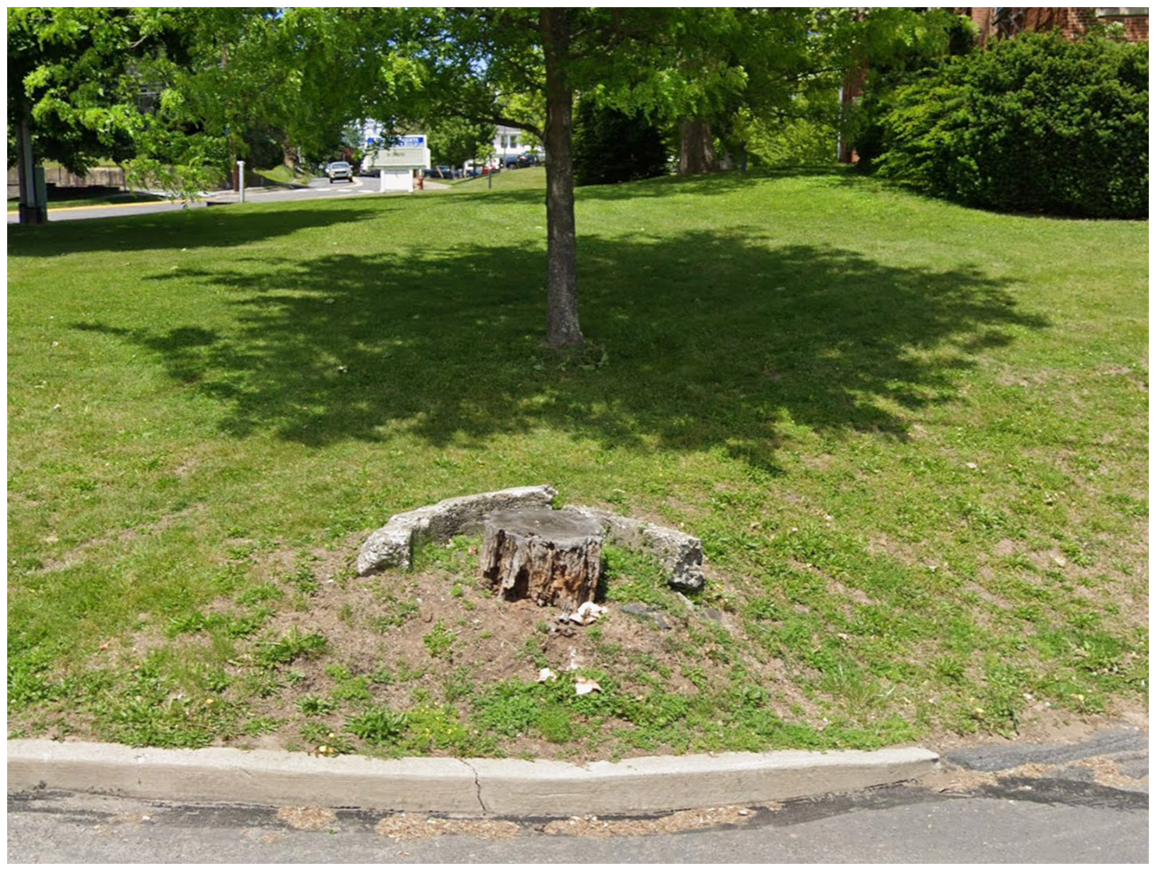
Even though this mark is long gone, I still wanted to document it here. This was my elementary school (as well as my mother’s, and the building was my grandmother’s and uncle’s high school). I wish I’d known about benchmarks in the early 1980s, because there is a chance the mark was still in place at that time. I’ll show an image of the remaining piece of concrete curbing surrounding one of the trees. This may have been the one that held the mark (if so, it was on the piece that has broken off), or there may have been a similar curb surrounding another tree in the same area. The description is not precise enough to say for sure.
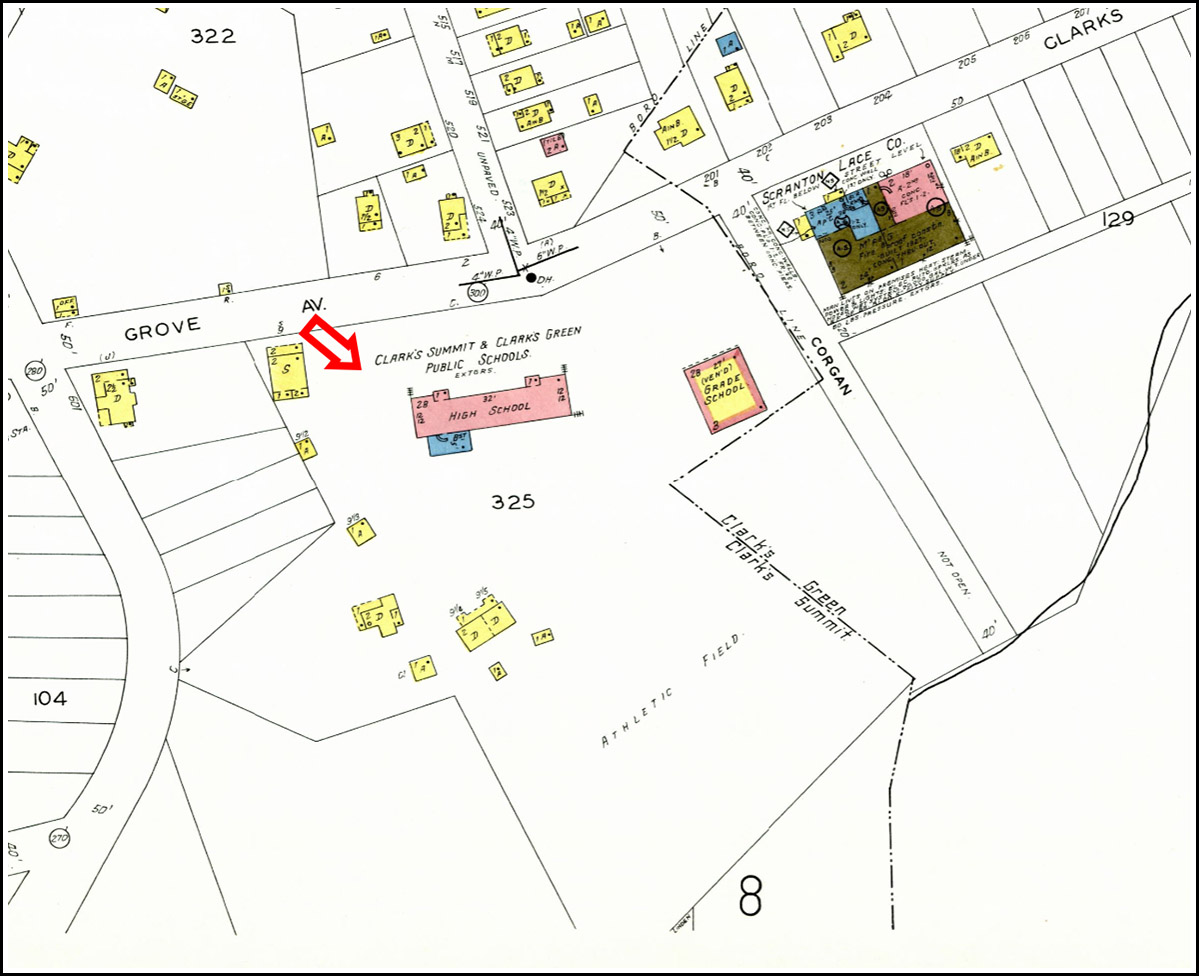
There aren’t many detailed maps available covering Clarks Summit in the appropriate time period, but I was able to find a Sanborn map from 1933. I was intrigued to see that the map does not show Linden Street. I have to wonder if it was put in at a later time? It is visible on the earliest aerial imagery I have access to, from 1939. Also interesting was the Scranton Lace Company building north of the school. According to Early History of Clarks Summit Pennsylvania by David M. Singer, this branch of the Scranton Lace Works was opened by Charles Belin in 1925, but closed shortly afterward. The building is still standing. When I was a student, it was called “the annex,” and we had music classes in there. At some point in later years, it was an administration building for the school district. Now, I can’t tell what, if anything, it is being used for.
I’m certain that the reference mark is also long gone. The stone curbing was replaced long ago, and the roads have been widened in the decades since the mark was set.