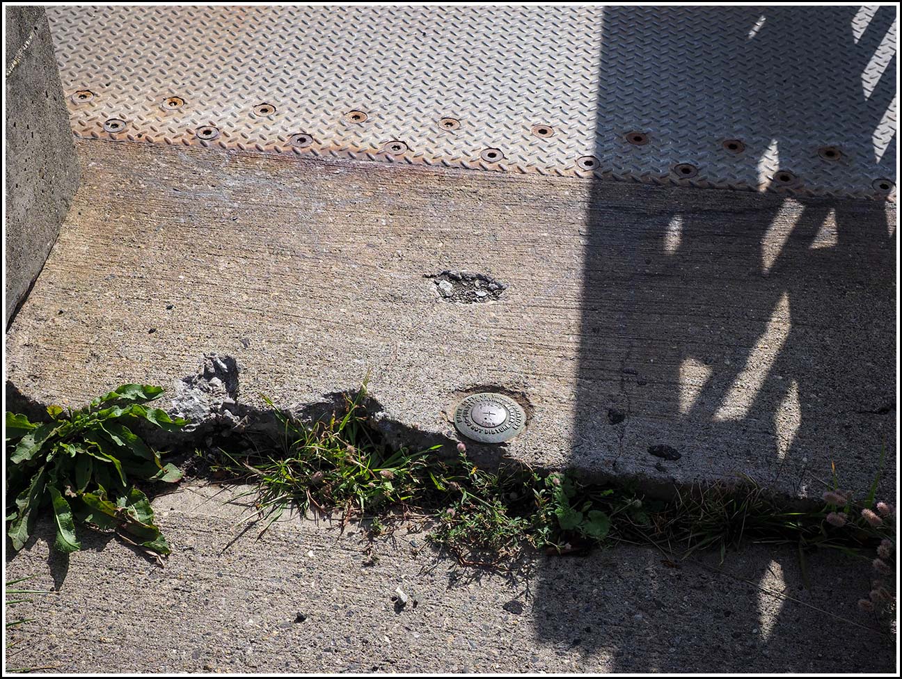
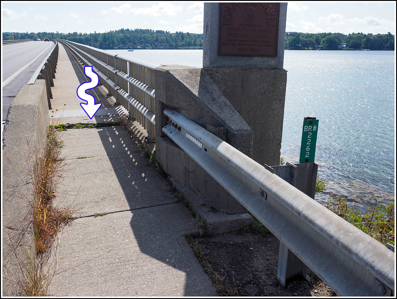
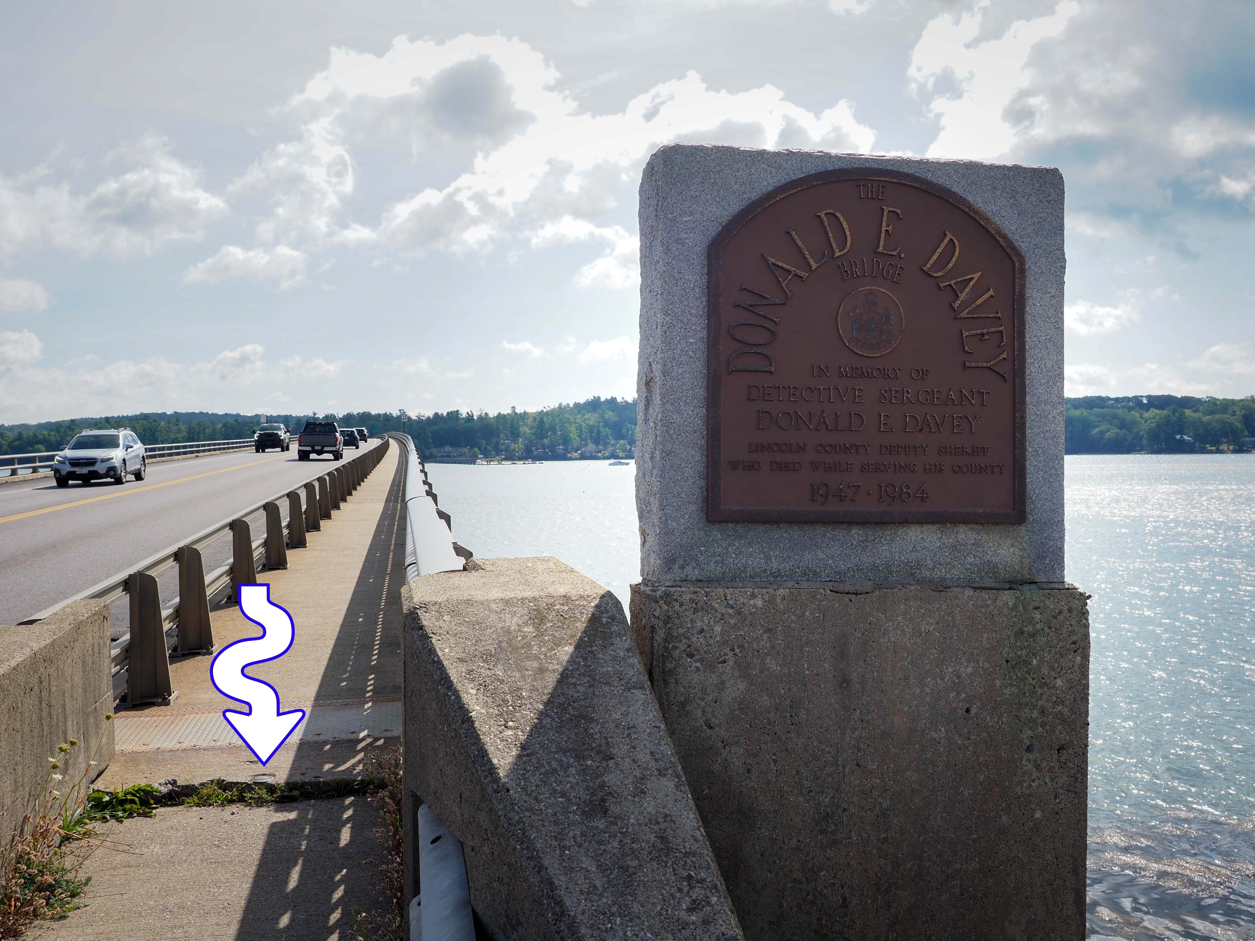
2262 W
2262 W
Recovered in Good Condition on September 10, 2026
Spatial/elevation data
| Coordinates | N 44.001861° W 69.662491° |
| Elevation | 19.934 ft. |
| Location | Maine
Lincoln County Wiscasset Quad |
Mark description
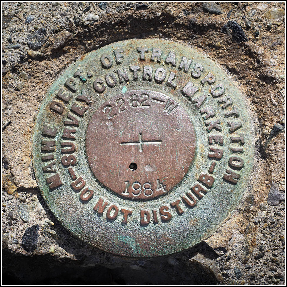
| Type | Survey Control Mark |
| Setting | Bridge Abutment |
| Monumented | 1984 by MaineDOT |
| Description (MaineDOT) | The station is located at the Southwest endpost of the U.S. Rte. 1 bridge over Sheepscot River, between the town of Wiscasset and Edgecomb The station mark is a standard disk, stamped — 2262W 1984 —, cemented in a drill hole in the conc. sidewalk located centrally in the sidewalk. It is: 6.6 m (21.6 ft) South of the centerline of Rte. 1; 19.2 m (63.0 ft) East of a utility pole with box |
Narrative and photographs