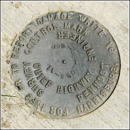
06F-63-3034-11
06F-63-3034-11
Spatial/elevation data
| Coordinates | N 41.48369° W 75.39648° |
| Elevation | Unknown |
| Location | Pennsylvania
Wayne County Lake Ariel Quad |
Mark description
| Type | Survey Control Mark |
| Setting | Bridge Wingwall |
| Monumented | 2006? by PennDOT |
| Description (PennDOT) | Unavailable. |
Narrative and photographs
This was the second unplanned find along Mid Valley Road after our hike at Varden Conservation Area, and it provided us with a beautiful surprise! Just north of the road, Middle Creek emerges from the woods and flows over a dam, forming a multi-level waterfall, and then beneath the bridge. Conditions were so poor for photography (pure, bright sunlight directly overhead) that the photos don’t do justice to the scene. But this was one of those marks that draw our attention to a real hidden delight we otherwise may not have noticed.
The disk itself is in very good condition, set into the northeast wingwall of this relatively new bridge. The first characters in the stamped designation are “06F”—we think that the “06” abbreviates the year, so 2006 in this case, but we have yet to figure out what the “F” signifies.


