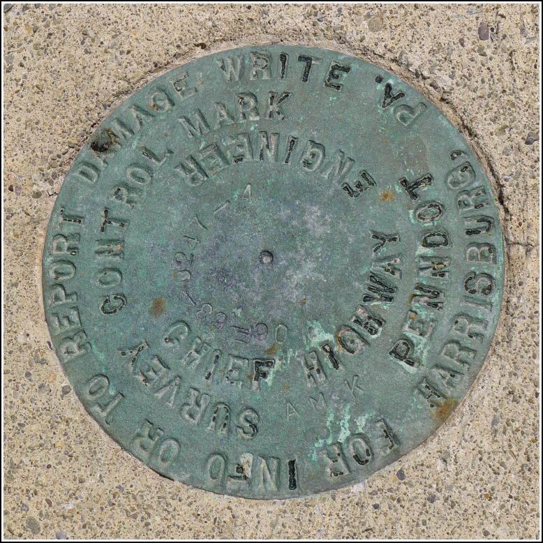
06F-63-0247-4 AMK
06F-63-0247-4 AMK
Spatial/elevation data
| Coordinates | N 41.67453° W 75.37607° |
| Elevation | Unknown |
| Location | Pennsylvania
Wayne County Aldenville Quad |
Mark description
| Type | Survey Control Mark |
| Setting | Bridge Bannister |
| Monumented | 2006? by PennDOT |
| Description (PennDOT) | Unavailable. |
Narrative and photographs
We found this mark while looking for the USGS bench mark disk 35 M, which we suspected was long gone. Google Street View made it pretty clear that the bridge is relatively new, and it even showed a disk set into the top of the bannister. Rich and I weren’t at all surprised to see that it’s a new PennDOT disk, stamped with the typical code ({year} - {county code} - {route number} - {disk number in line}). This one, unlike most others we’ve found, also has the letters “AMK” stamped below—we assume that these may be the initials of the person who placed it, as was often done on the older bench mark disks.
The disk is in good condition on the northwest corner of the Creamton Road bridge over the Lackawaxen River. There is a chiseled square carved into the southwest wingwall of the bridge. We suspect that this might be an RM for the PennDOT disk. (Although it is in the same location as the original USGS BM’s chiseled square reference mark, it can’t be the same, since the abutments were replaced along with the rest of the bridge.)
There is also a USGS stream gauging station at this bridge, but there are no bench marks at the station itself.


.")