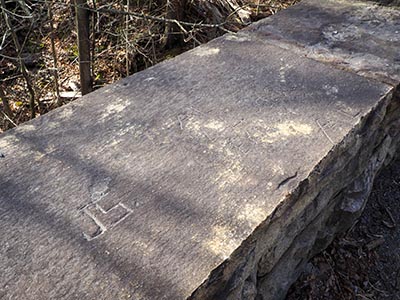
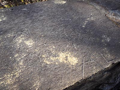
TT 46 T RM
Spatial/elevation data
| Coordinates | N 41.498594° W 75.641824° (estimate) |
| Elevation | 1472.13 ft. |
| Location | Pennsylvania
Lackawanna County Scranton Quad |
Mark description
| Type | Chiseled Square |
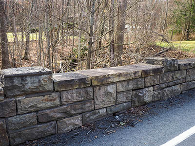
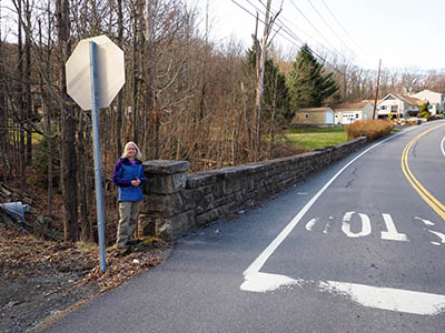
| Setting | Bridge |
| Monumented | 1932 by USGS |
| Description (USGS) | Reference mark; 125 ft SW. of tablet; in center of E. wall of bridge over drain; chiseled square |
Narrative and photographs
For more information about this reference mark, see its parent mark TT 46 T.


