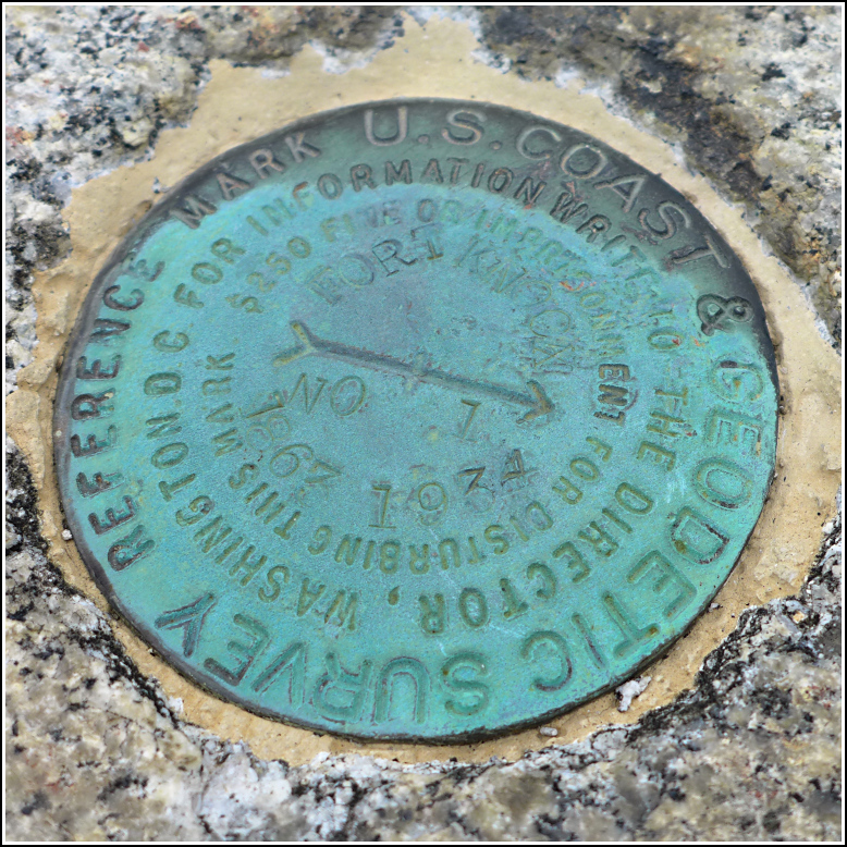
FORT KNOX RM 1
Recovered in Good Condition on September 8, 2016
Spatial/elevation data
| Coordinates | N 44.56578° W 68.80221° |
| Elevation | Unknown |
| Location | Maine
Waldo County Bucksport Quad |
Mark description
| Type | Reference Mark Disk |
| Setting | Stone Wall |
| Monumented | 1934 by NGS |
Narrative and photographs
For more information about this reference mark, see its parent mark FORT KNOX 1863.

