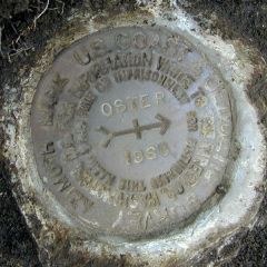
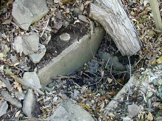
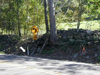
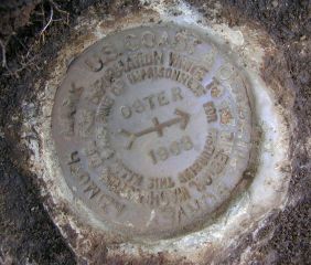
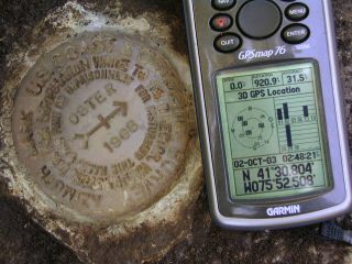
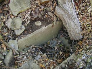
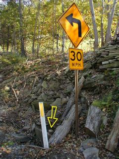
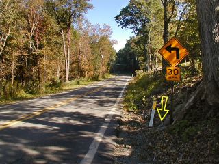
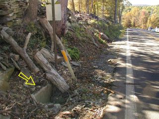
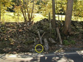
OSTER AZ MK Coordinates: N 41.513283° W 75.875183° Location: Pennsylvania Wyoming County Tunkhannock Quad Elevation: Unknown Type: Azimuth Mark Disk Setting: Concrete Culvert Year Established: 1968 Established By: NGS Status: Recovered Condition: Good as of October 2, 2003 View larger map View Google map Zhanna’s report Rich’s report For more information, see: OSTER NGS Azimuth Mark Disk OSTER AZ MK Eyelevel view of the mark on the culvert backwall. Looking SE toward the highway sign and culvert. For more information, see: OSTER NGS Azimuth Mark Disk OSTER AZ MK GPSr and the azimuth mark. Eyelevel view of azimuth mark and surroundings. Orientation view, highway signpost, mark indicated. Orientation view, facing east along Rt. 307, mark indicated. Orientation view, facing west along Rt. 307, mark indicated. Orientation view, facing SSW on highway, mark indicated.