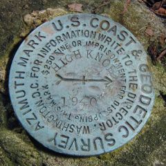
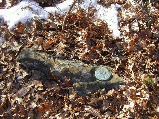
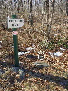
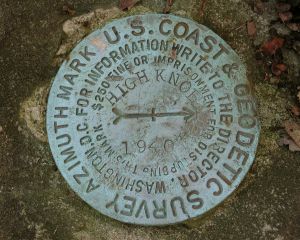
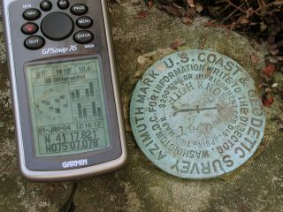
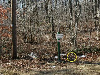
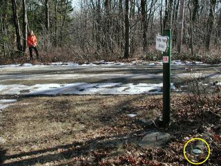
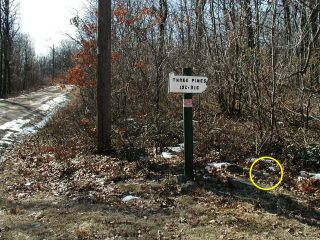
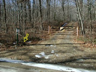
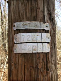
HIGH KNOB AZ MK Coordinates: N 41.297° W 75.117883° Location: Pennsylvania Pike County Pecks Pond Quad Elevation: Unknown Type: Azimuth Mark Disk Setting: Boulder Year Established: 1940 Established By: NGS Status: Recovered Condition: Good as of January 1, 2004 View larger map View Google map Zhanna’s report Rich’s report For more information, see: HIGH KNOB NGS Azimuth Mark Disk HIGH KNOB AZ MK Eye-level view of the mark. Looking west from the edge of the gravel road. Looking west from the trail. Shown are the powerpole, sign and gated woods road. Rich points to the mark. For more information, see: HIGH KNOB NGS Azimuth Mark Disk HIGH KNOB AZ MK GPSr and the azimuth mark. Eyelevel view of azimuth mark and setting. Orientation view facing west, mark indicated. View east, Zhanna at trailhead, mark indicated. View south to powerpole and sign, mark indicated. View west to sign and gate, mark indicated. Powerpole and ID numbers.