TRI STATES 1942 (LY2604)
Spatial/elevation data
| Coordinates | N 41.357273° W 74.694723° |
| Elevation | 420 ft. |
| Location | New York
Orange County Port Jervis South Quad |
Mark description
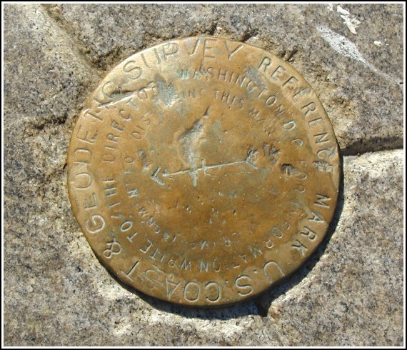
| Type | Reference Mark Disk |
| Setting | Granite Monument |
| Monumented | 1942 by NGS |
| Description (NGS) | NGS Datasheet |
Narrative and photographs
For more information about this reference mark, see its parent mark LAUREL.
They don’t get much more obvious than this one. Still, it was a really neat marker to find. As the description states, it’s on the tip of a peninsula between the two rivers, just beyond a cemetery and beneath the interstate bridges—an unusual location with lots of ‘atmosphere’. Rich’s description of the marker is accurate. Unfortunately, the LAUREL benchmark has been paved over.


(Recovered on September 29, 2002)
N 41° 21.43’8 W 074° 41.684’
It wasn’t my intention to search for benchmarks today, but this one happened to be part of a Geocache hunt. Nor was I sure if it would be listed in the data sheets so I figured I’d take the requisite photos and other information and check it out when I got home. Not surprising that PatW has already got it logged. Good job! Since I wasn’t aware of the LAUREL station mark at the time, I’ll have to search for it during another visit. At the station my Garmin GPSmap76 receiver indicated approximately 13 feet from the posted coordinates. The disc is quite visible and is in good condition. The designations, if any, cannot be read. ~Rich in NEPA~


