MINOOKA RESET RM 1 (LY1379)
Recovered in Destroyed Condition on February 12, 2005
Spatial/elevation data
| Coordinates | N 41.37915° W 75.6755° |
| Elevation | 1061.98 ft. |
| Location | Pennsylvania
Lackawanna County Scranton Quad |
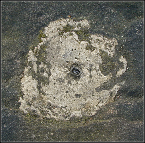
Mark description
| Type | Reference Mark Disk |
| Setting | Boulder |
| Monumented | 1959 by NGS |
| Description (NGS) | NGS Datasheet |
Narrative and photographs
For more information about this reference mark, see its parent mark MINOOKA RESET.

