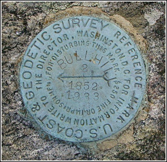
BULL HILL RM 2
Recovered in Good Condition on November 5, 2005
Spatial/elevation data
| Coordinates | N 41.438333° W 73.956017° |
| Elevation | Unknown |
| Location | New York
Putnam County West Point Quad |
Mark description
| Type | Reference Mark Disk |
| Setting | Rock Outcrop |
| Monumented | 1933 by NGS |
Narrative and photographs
For more information about this reference mark, see its parent mark BULL HILL RESET.

