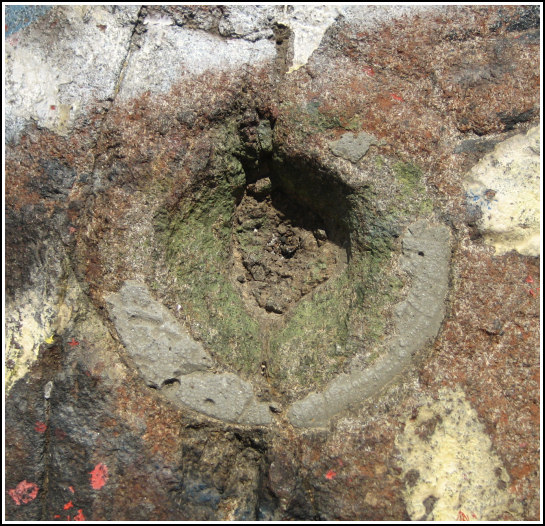
HIGH TOR RESET RM 1
Recovered in Destroyed Condition on September 22, 2006
Spatial/elevation data
| Coordinates | N 41.187633° W 73.965383° |
| Elevation | Unknown |
| Location | New York
Rockland County Haverstraw Quad |
Mark description
| Type | Reference Mark Disk |
| Setting | Bedrock |
| Monumented | 1932 by NGS |
Narrative and photographs
For more information about this reference mark, see its parent mark HIGH TOR RESET.


, RM 1 location, and the SE and SW beacon footings.")