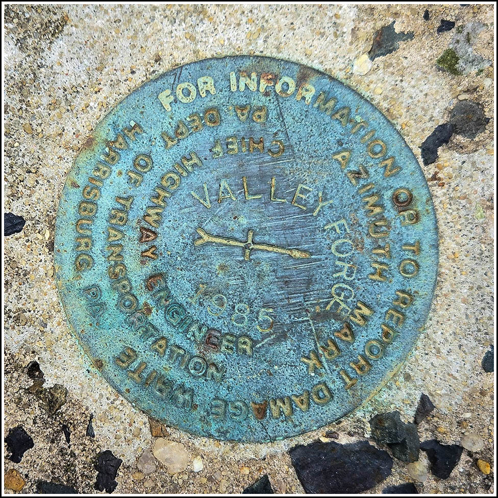
VALLEY FORGE AZ MK (KV6208)
Recovered in Good Condition on May 11, 2026
Spatial/elevation data
| Coordinates | N 40.072878° W 75.443156° |
| Elevation | 203 ft. |
| Location | Pennsylvania
Chester County Valley Forge Quad |
Mark description
| Type | Azimuth Mark Disk |
| Setting | Curb |
| Monumented | 1985 by PennDOT |
| Description (NGS) | NGS Datasheet |
Narrative and photographs
For more information about this reference mark, see its parent mark VALLEY FORGE.


