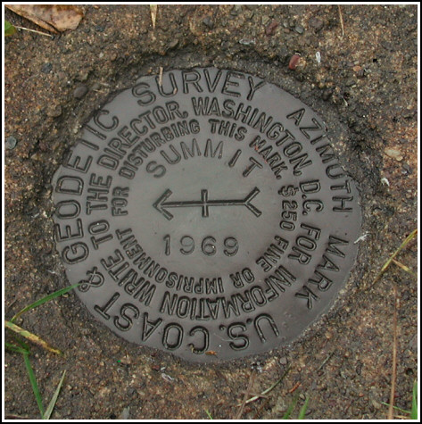
SUMMIT AZ MK
Recovered in Good Condition on November 2, 2003
Spatial/elevation data
| Coordinates | N 40.829133° W 75.851967° |
| Elevation | Unknown |
| Location | Pennsylvania
Carbon County Nesquehoning Quad |
Mark description
| Type | Azimuth Mark Disk |
| Setting | Square Concrete Monument |
| Monumented | 1969 by NGS |
Narrative and photographs
For more information about this reference mark, see its parent mark SUMMIT.


