K 25 RM
Recovered in Good Condition on September 10, 2007
Spatial/elevation data
| Coordinates | N 44.349867° W 68.24075° |
| Elevation | Unknown |
| Location | Maine
Hancock County Seal Harbor Quad |
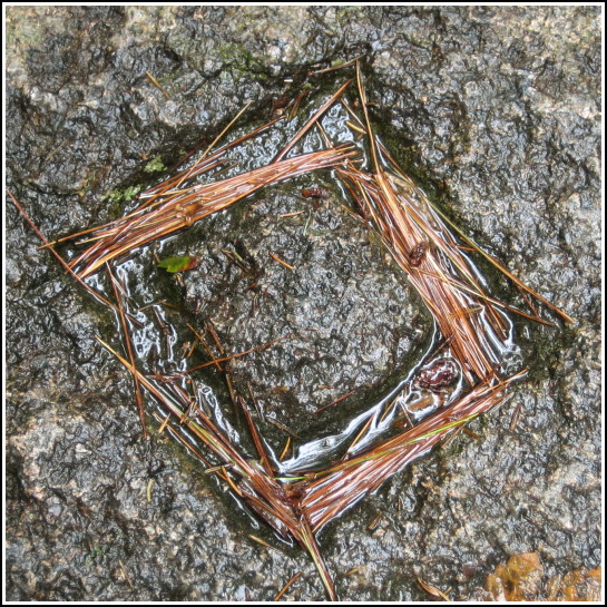
Mark description
| Type | Chiseled Square |
| Setting | Stone Dam |
| Monumented | 1934 by USGS |
| Description (USGS) | Reference mark; Seal Harbor Post Office, 4.8 mi. N. of, along Mountain Road; near N. end of Bubble Pond; on W. stonework of small dam across outlet of pond; 65 ft. N. of rd.; chiseled square |
Narrative and photographs
For more information about this reference mark, see its parent mark K 25.


