ET 29 WCE AZ MK
Recovered in Good Condition on September 29, 2006
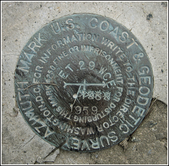
Spatial/elevation data
| Coordinates | N 38.764333° W 78.227305° |
| Elevation | Unknown |
| Location | Virginia
Rappahannock County Chester Gap Quad |
Mark description
| Type | Azimuth Mark Disk |
| Setting | Concrete Slab |
| Monumented | 1959 by USGS |
Narrative and photographs
For more information about this reference mark, see its parent mark ET 29 WCE.

