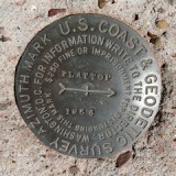
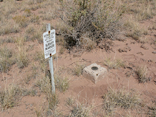
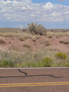
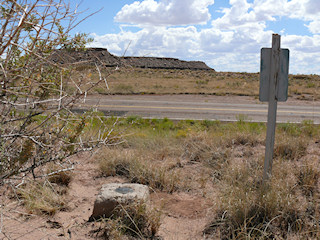
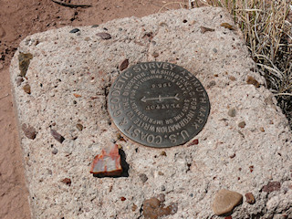
FLATTOP AZ MK
Spatial/elevation data
| Coordinates | N 34.830117° W 109.823766° |
| Elevation | Unknown |
| Location | Arizona
Apache County Agate House Quad |
Mark description
| Type | Azimuth Mark Disk |
| Setting | Square Concrete Monument |
| Monumented | 1936 by USGS |
Narrative and photographs
For more information about this reference mark, see its parent mark FLATTOP.
