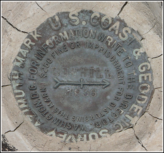
LOW HILL AZ MK
Recovered in Good Condition on May 20, 2007
Spatial/elevation data
| Coordinates | N 31.988617° W 112.7629° |
| Elevation | Unknown |
| Location | Arizona
Pima County Lukeville Quad |
Mark description
| Type | Azimuth Mark Disk |
| Setting | Boulder |
| Monumented | 1936 by NGS |
Narrative and photographs
For more information about this reference mark, see its parent mark LOW HILL.


.")
