24 JPN RM
Spatial/elevation data
| Coordinates | N 41.398283° W 75.627316° |
| Elevation | 1317.87 ft. |
| Location | Pennsylvania
Lackawanna County Scranton Quad |
Mark description
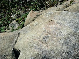
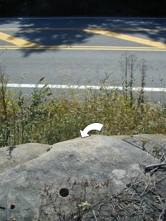
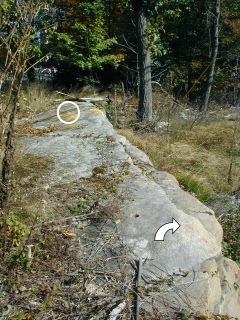
| Type | Chiseled Square |
| Setting | Rock Outcrop |
| Monumented | 1942 by USGS |
Narrative and photographs
For more information about this reference mark, see its parent mark 24 JPN.


