- NGS PID:
- PD0664
- Coordinates:
- N 44.902229° W 66.984838°
- Location:
- Elevation:
- Unknown
- Type:
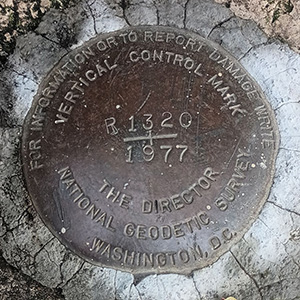
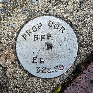
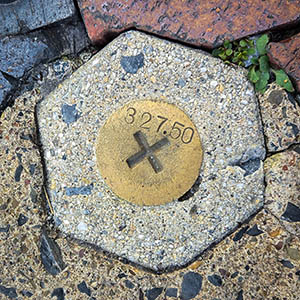
- Survey Disk
- Setting:
- Concrete Pier
- Year Established:
- 1986
- Established By:
- National Ocean Service
- Status:
- Not Found
- Condition:
- Unknown (Not Found) as of September 19, 2015
- Official Description: NGS Datasheet
Our day trip to Eastport yielded a few interesting survey mark finds. Unfortunately this wasn't one of them. With adjusted coordinates to rely on, we figured this would be a simple find. We didn't count on the pier having been paved over! The mark may still be in place, but there's certainly no easy way to find it now.
On the plus side, the mark is/was adjacent to Quoddy Bay Lobster, which we of course had to try. The jumbo lobster rolls earned our highest rating—eight hooves up!
A report on the condition of this survey mark has been submitted to NGS, along with the following recovery note:
Mark not found. The pier has been paved.