T 237

NGS PID:
AC0523
Coordinates:
N 25.761958° W 80.769233°
Location:
Elevation:
14.57 ft.
Type:
Bench Mark Disk
Setting:
Concrete Wall
Year Established:
1965
Established By:
NGS
Status:
Recovered
Condition:
Good as of February 16, 2016

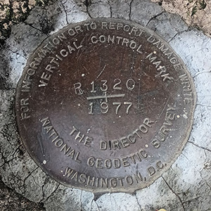
After two years, Rich and I are back in south Florida! And although the crystal-blue water, fresh seafood and alligators are the main draw, no trip would be complete without a few benchmark finds along the way.

I hadn't really considered going to Shark Valley, but when Rich suggested it last night I was intrigued. And of course, we checked BenchMap to see if there were any marks nearby. T 237 was the first one on our list. We searched for it after spending the morning hours riding the tram and then hiking the paths (and visiting with all the baby and adult alligators). The mark is located 0.2 miles west along the Tamiami Trail (U.S Route 41) from the intersection with the entrance to Shark Valley. It is set into a concrete wall on the east end of a gated discharge structure at spillway S-12 B, north of the highway.

The disk is in good condition, although it might be difficult to use since it is situated partially beneath one of the pipes that extends over the spillway structure.

A report on the condition of this survey mark has been submitted to NGS.

Leave a Comment