- NGS PID:
- AI8357
- Coordinates:
- N 44.904486° W 66.984011°
- Location:
- Elevation:
- 16.22 ft.
- Type:
- Tidal Bench Mark Disk
- Setting:
- Concrete Pier
- Year Established:
- 1990
- Established By:
- National Ocean Service
- Status:
- Recovered
- Condition:
- Good as of September 19, 2015
- Official Description: NGS Datasheet
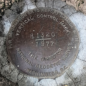
This relatively new tidal bench mark disk is located at the west (Water Street) end of the main pier in Eastport. We visited Eastport on a Saturday, and a craft fair was underway near the pier. As you might expect, a table was set up nearly on top of the mark (this isn't the first time this has happened to us!). Fortunately we still had plenty of room to access and photograph the mark. The disk is in excellent condition and is easy to find in the north corner of the concrete pier abutment.
A report on the condition of this survey mark has been submitted to NGS.