- NGS PID:
- LY1200
- Coordinates:
- N 41.359722° W 75.379611°
- Location:
- Elevation:
- 1389.43 ft.
- Type:
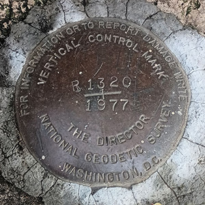
- Reference Mark Disk
- Setting:
- Square Concrete Monument
- Year Established:
- 1959
- Established By:
- NGS
- Status:
- Recovered
- Condition:
- Good as of May 3, 2014
- Official Description: NGS Datasheet
For more information, see: URBAN
A report on the condition of this survey mark has been submitted to NGS, along with the following recovery note:
Recovered in good condition about one foot northwest of the northeast corner of a barn. The blacktop road is PA Route 191.
For more information, see: URBAN