- NGS PID:
- AB2402
- Coordinates:
- N 25.149° W 80.922517°
- Location:
- Elevation:
- 13.76 ft.
- Type:
- Survey Mark
- Setting:
- Concrete Bridge Sidewall
- Year Established:
- 1974
- Established By:
- U. S. Engineers
- Status:
- Recovered
- Condition:
- Good as of February 25, 2014
- Official Description: NGS Datasheet
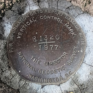
I happened to spot this benchmark disk on a bridge as we exited the Flamingo area of Everglades National Park. According to the data stamped on the disk it was set in 1974 by the Jacksonville District of the Army Corps of Engineers, but I haven't yet been able to find a datasheet or any further description for this mark.
A report on the condition of this survey mark has been submitted to NGS.